
Drone Surveys
Fast, safe aerial survey data with survey-grade accuracy
Photogrammetry & drone surveys
Detailed aerial data, captured quickly and safely
JG Engineering’s drone survey services capture detailed aerial data quickly and safely, especially on large, complex or hard-to-reach sites. Our drones carry high-resolution photogrammetry cameras and LiDAR sensors. The data is tied to surveyed ground control and check points to deliver accurate, measurable 2D and 3D survey information. All of it is referenced to Ordnance Survey National Grid and Ordnance Datum Newlyn as standard.
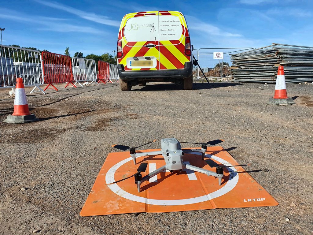
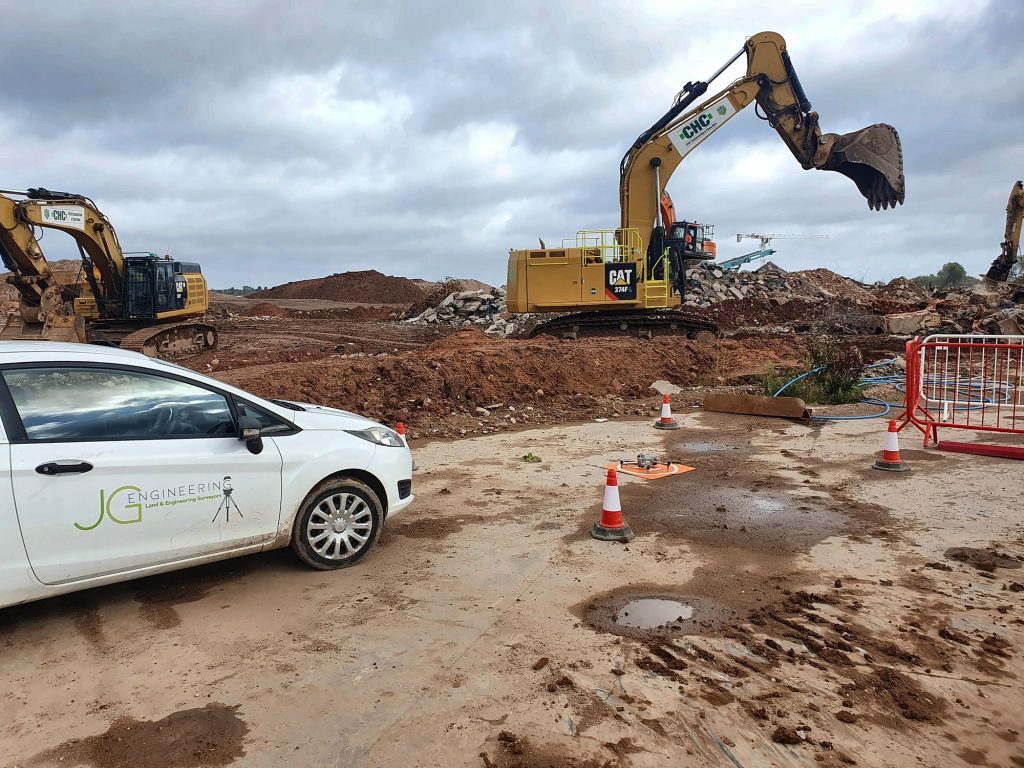
Safer, faster surveys
Large sites in a fraction of the time
Drone surveys cover large areas in a fraction of the time ground-based methods take. They also keep surveyors out of hazardous areas, such as live plant routes, steep slopes, stockpiles and quarry faces. That makes them especially valuable on active construction sites, earthworks schemes and quarries, where we can survey with minimal disruption to site operations.
What you receive
Aerial survey data you can measure
Depending on project requirements, we can deliver orthomosaic imagery, classified point clouds, digital terrain and surface models, contours, sections and textured 3D models in industry-standard formats. Typical applications include:
- Construction progress monitoring
- Earthworks cut and fill analysis
- Stockpile and quarry volume calculations
- Pre-development and planning surveys
- As-built records for large-scale developments
Clients can also view and measure the results online through a shareable 3D viewer.
Combining drone data with traditional total station and GNSS survey gives our clients the speed of aerial capture with survey-grade confidence, all from one North West team.
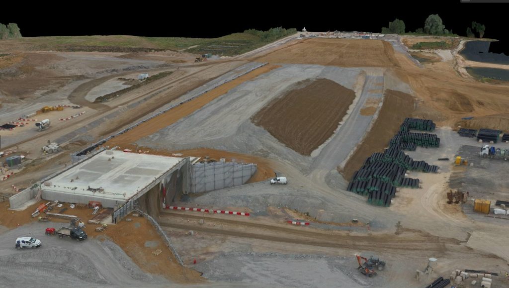
Our work
Drone surveys on site and example outputs


FAQs
Drone survey questions
A drone survey uses an unmanned aircraft carrying a high-resolution camera or LiDAR sensor to capture aerial data. Tied to surveyed ground control, the data is processed into measurable orthophotos, point clouds, terrain models and 3D models.
Our drone data is tied to surveyed ground control and check points and referenced to Ordnance Survey National Grid and Ordnance Datum Newlyn as standard, giving accurate, measurable survey information rather than just pictures.
Depending on the project: orthomosaic imagery, classified point clouds, digital terrain and surface models, contours, sections and textured 3D models in industry-standard formats. Results can also be viewed and measured online in a shareable 3D viewer.
Yes. Drones are ideal for stockpile and quarry volume calculations because they capture the whole area quickly and keep surveyors away from faces, stockpiles and live plant routes.
Book a drone survey
Tell us about your site and we’ll get back to you with a quote. Use our quick online quote form, or ask us to call you back.