
Earthworks Surveys & Machine Control
Accurate quantities, independent checks and GPS machine control support
Earthwork volumes
Accurate quantities. Better cost control.
JG Engineering provides accurate earthworks and volume surveys, so clients know exactly how much material is being moved, stored and paid for.
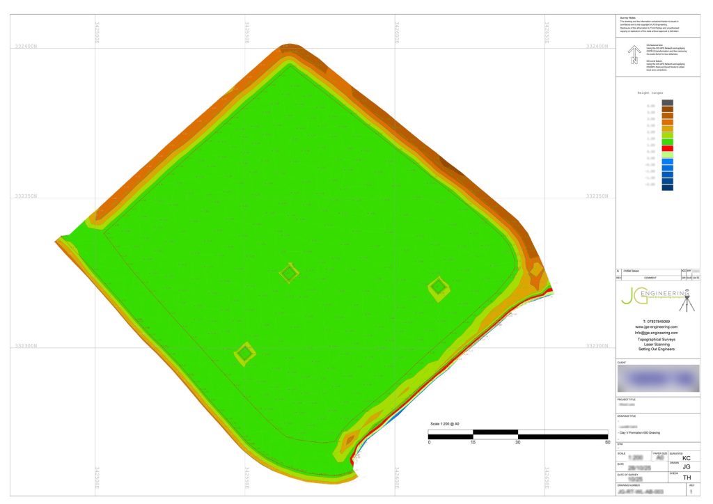
We build precise surfaces from GNSS and total station topographical surveys, drone photogrammetry and LiDAR, all tied to Ordnance Survey National Grid and Ordnance Datum Newlyn or the project grid. We then compare those surfaces with the original ground, the design formation or earlier surveys. That gives reliable figures for cut and fill, excavation, stockpiles, imported and exported material, and quarry and borrow pit extraction. Point clouds are cleaned to remove plant, vehicles and vegetation before we calculate, so the volumes reflect the true ground surface.
Volume surveys can be repeated at key stages or on a regular schedule, for example weekly or monthly. That lets clients track progress, reconcile quantities and see how ground levels change over time. Results come with clear reports, cut and fill heat maps, sections and CAD drawings, and the 3D data can be viewed and measured online.
Independent check surveys
Catch issues before they become costly rework
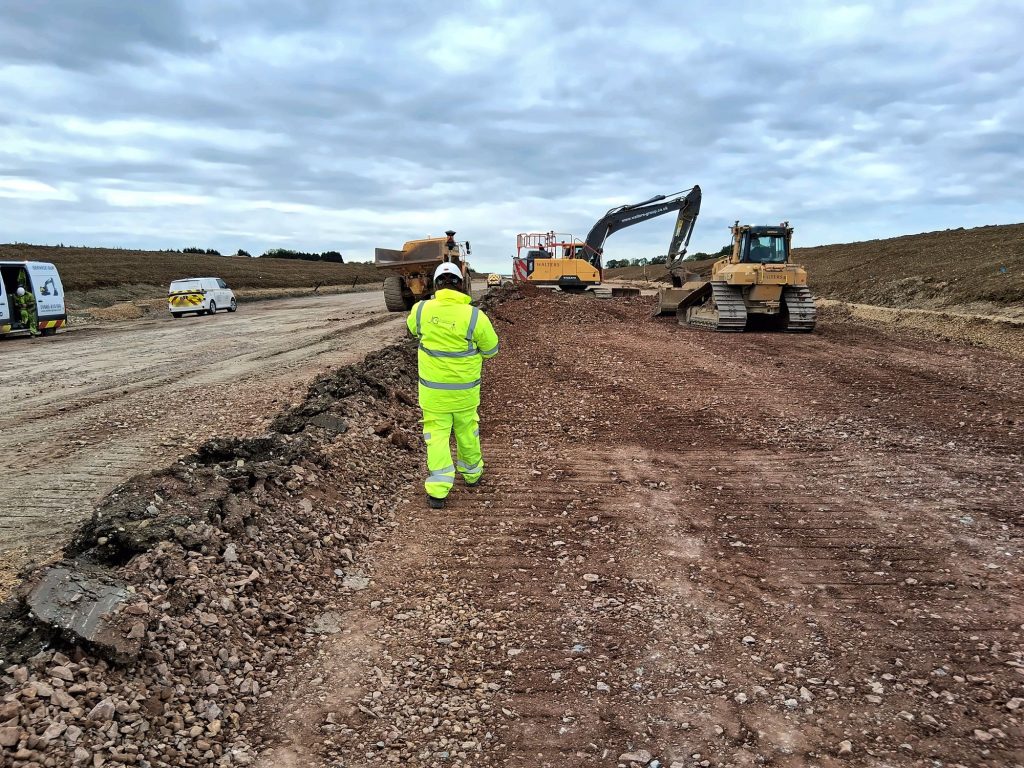
We also provide independent earthworks check surveys for clients who want extra expertise or assurance, either at regular intervals or at critical stages. Our engineers check formation, capping and sub-base levels, batter slopes and finished surfaces against the design. We also verify contractor or machine-control outputs and confirm reported quantities. Any differences are reported clearly and quickly, so issues can be fixed before they become costly rework. This works well alongside in-house teams or as an ongoing quality check for main contractors, developers and clients’ representatives.
Reliable volume and check survey data supports earthworks planning, the cut and fill balance, material management, quantity checks, contractor valuations and payment applications, and helps resolve disputes.
GPS machine control
Bringing survey accuracy directly to the machine
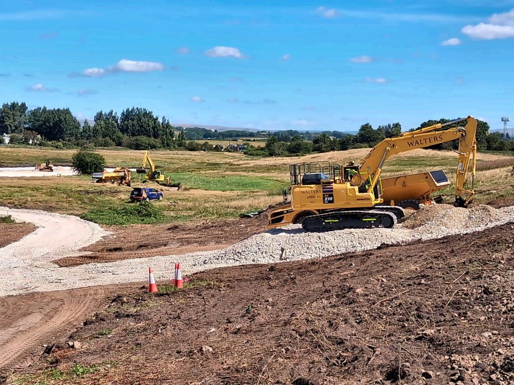
JG Engineering provides GPS machine control support and base station hire that connects accurate survey and design data directly to construction plant. This helps contractors build to level, faster and with fewer errors.
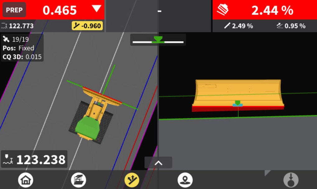
We prepare machine-ready 3D models from the engineer’s design, including surfaces, formation and sub-base layers, and alignments. We supply them in formats that suit the main systems, such as Trimble, Leica and Topcon. Everything is set up on a site calibration and control network tied to Ordnance Survey National Grid and Ordnance Datum Newlyn or the project grid. Operators can then cut and fill to design levels on their in-cab screen, with far fewer pegs and profiles and less waiting for setting out.

Machine control support
Levels under control, even on busy sites
Machine control brings clear benefits across:
- Bulk excavation and earthworks
- Grading
- Formation and capping layers
- Road and car park construction
- General site development
It cuts over- and under-dig, reduces rework, saves material and keeps levels under control, even on busy sites.
We can support the whole process: the pre-construction topographical or drone survey, building and checking the models, site calibration, as-built checks and progress volumes. That means the design is translated accurately on the ground and work can be verified as it goes, drawing on our setting-out experience on live construction sites.
Our work
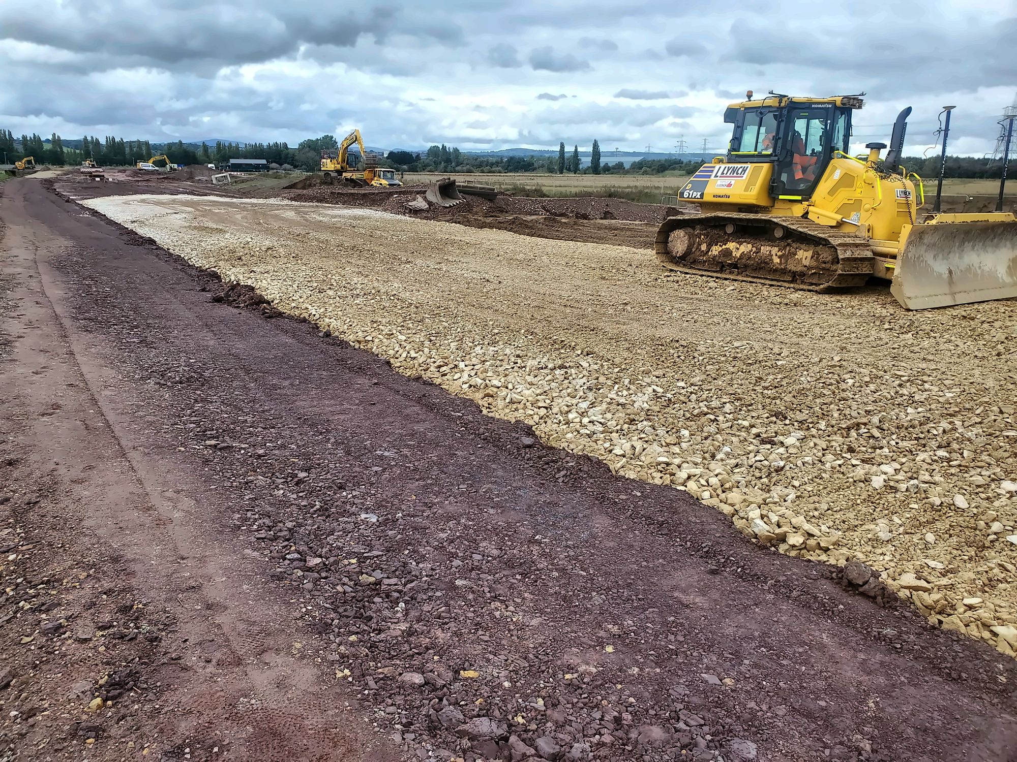
Earthworks and machine control on site





FAQs
Earthworks and machine control questions
We build accurate surfaces from GNSS, total station and drone surveys, clean out plant, vehicles and vegetation, and compare them with the original ground, the design formation or earlier surveys to give cut and fill, stockpile and import/export quantities.
At key stages, or on a regular schedule such as weekly or monthly, so you can track progress, reconcile quantities and support valuations and payment applications.
We supply machine-ready 3D models in formats for the main systems, such as Trimble, Leica and Topcon, set up on a site calibration and control network.
Yes. We provide GPS machine control support and base station hire alongside model building, site calibration and as-built checks.
Book earthworks surveys or machine control support
Tell us about your project and we’ll get back to you with a quote. Use our quick online quote form, or ask us to call you back.