
GPR/Utilities Surveys
PAS 128 underground utility surveys: know what lies beneath before you dig
PAS 128 underground utility surveys
Understand what lies beneath
Hidden underground services are one of the biggest risks to programme, cost and safety on any project. JG Engineering’s PAS 128-compliant utility surveys tell clients exactly what lies beneath a site before design is finalised or excavation begins.
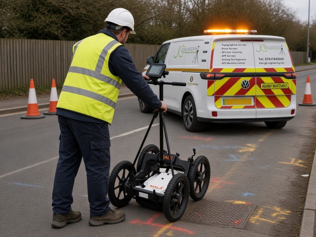
We combine statutory record searches with electromagnetic locating (CAT and Genny) and ground penetrating radar (GPR). This lets us detect and trace buried services, including water, gas, electricity, telecommunications, drainage and unknown or redundant apparatus. Every service is positioned using high-precision GNSS and total station survey, tied to Ordnance Survey National Grid and Ordnance Datum Newlyn. Where we can, we also record its approximate depth. Drainage runs can be confirmed by lifting covers and taking invert levels and pipe sizes.
What you receive
One coordinated picture, above and below ground
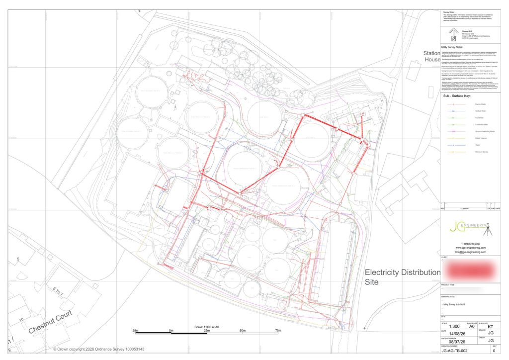
Results are delivered as clear, layered CAD drawings with PAS 128 quality levels, and can be combined with our topographical, drone or laser scan data. Engineers, designers and contractors then have one coordinated picture of the site, above and below ground.
Accurate utility information helps clients:
- Design around constraints early
- Avoid clashes and costly redesign
- Plan safer excavations
- Reduce the risk of service strikes, delays and damage on site
The result is safer, better-informed construction from the outset.
FAQs
Utility survey questions
PAS 128 is the UK specification for underground utility detection, verification and location. A PAS 128 survey combines record searches with electromagnetic locating and ground penetrating radar, and gives each service a quality level showing how it was found and how reliable its position is.
Water, gas, electricity, telecommunications, drainage and unknown or redundant apparatus. Drainage runs can be confirmed by lifting covers and taking invert levels and pipe sizes.
Electromagnetic locators (CAT and Genny) and ground penetrating radar (GPR), with every service positioned by high-precision GNSS and total station survey tied to Ordnance Survey National Grid and Ordnance Datum Newlyn.
Yes. Utility results are delivered as layered CAD drawings that can be combined with our topographical, drone or laser scan data, giving one coordinated picture above and below ground.
Book a utility survey
Tell us about your site and we’ll get back to you with a quote. Use our quick online quote form, or ask us to call you back.