
Topographical Surveys
Accurate, detailed surveys of existing site conditions
Land surveying
Topographical surveys in the North West
JG Engineering delivers accurate, detailed topographical surveys that give a reliable record of existing site conditions. We capture both natural and man-made features to suit each project, including:
- Ground levels and changes in elevation
- Buildings, roads and kerbs
- Drainage and manholes
- Boundaries and vegetation
- Overhead and visible services
Our approach
The right method for every site
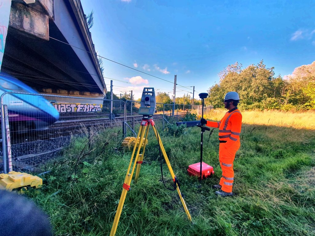
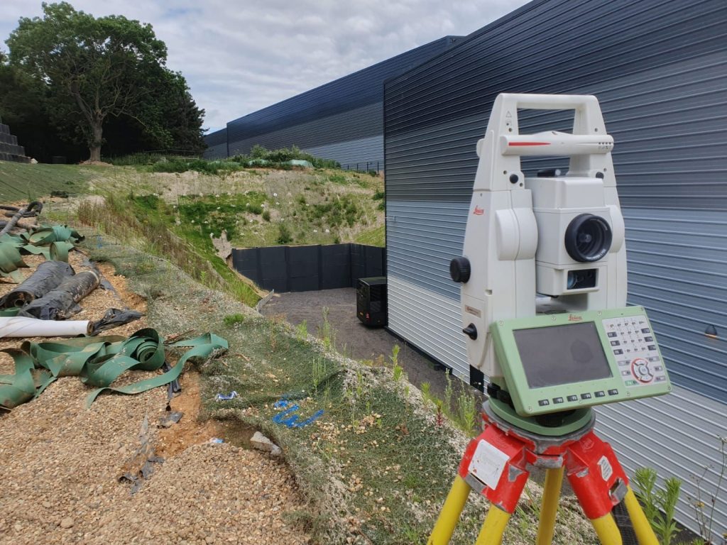
Our surveyors combine high-precision robotic total stations, RTK GNSS and drone LiDAR and photogrammetry. We choose the best method for each site’s size, complexity, access and accuracy requirements. That lets us survey large or difficult sites quickly and safely, while keeping the precision that engineering and construction work needs.
All surveys are tied to Ordnance Survey National Grid and Ordnance Datum Newlyn as standard. Where required, we can add laser scanning and GPR utility surveys to build a complete picture of a site, above and below ground.
What you receive
Survey data in the formats you work with
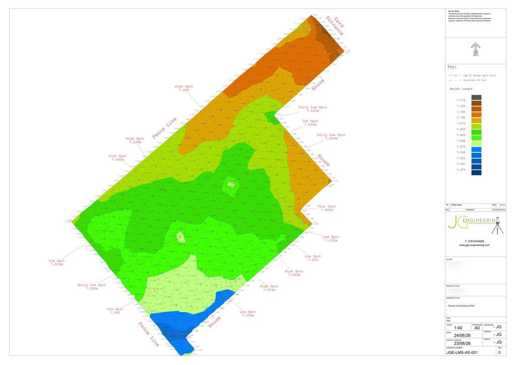
The processed data is delivered in formats that suit your workflow. These include CAD topographical drawings (DWG/DXF), digital terrain models, contours, sections, orthophotos, point clouds and 3D models. They give a dependable reference for design, planning applications, earthworks and volume calculations, and construction setting out.
Knowing exactly what is on site before work starts helps our clients spot constraints early, reduce design risk and avoid costly changes later. With 15+ years of surveying and setting out experience across the North West, JG Engineering provides a solid foundation for every stage of your project, from early design through to construction.
Our work
Topographical surveys on site and example drawings


FAQs
Topographical survey questions
A topographical survey is an accurate record of a site’s existing conditions: ground levels, buildings, roads and kerbs, drainage and manholes, boundaries, vegetation and visible services. It is the base for design, planning applications and construction.
All our surveys are tied to Ordnance Survey National Grid and Ordnance Datum Newlyn as standard.
Typically CAD topographical drawings (DWG/DXF), with digital terrain models, contours, sections, orthophotos, point clouds and 3D models where the project needs them.
Yes. We combine robotic total stations, RTK GNSS and drone LiDAR and photogrammetry, choosing the best method for each site’s size, complexity, access and accuracy requirements.
Book a topographical survey
Tell us about your site and we’ll get back to you with a quote. Use our quick online quote form, or ask us to call you back.