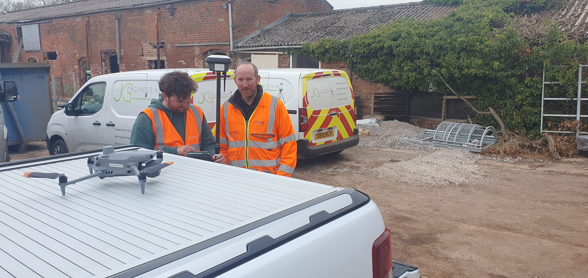
JG Engineering was appointed to carry out a drone survey of a 160-acre farm. This involved the initial flight planning, carrying out nine separate flight missions and then processing the drone data into a 2D format for a bird’s eye view of the farm along with a 3D format by processing drone data and importing it into LSS 3D vision point cloud for the client to interrogate via an online viewer.